BR48 From the banks of the Rhine to the Rhine-Marne canal
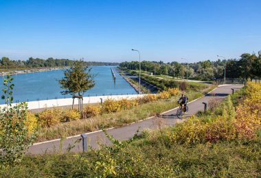
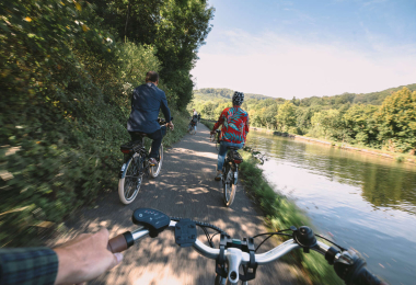
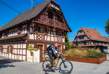
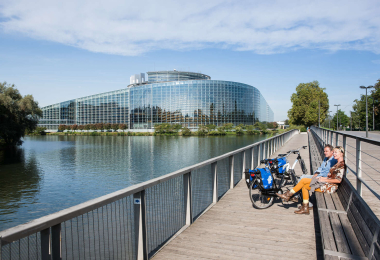
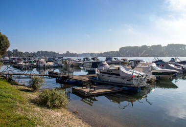
Going through the suburb of Robertsau, known for its market gardens, the trail runs along along the edge of the grounds of the Château de Pourtalès to lead to the high water dyke which runs parallel to the Rhine. After La Wantzenau, renowned for its old half- timbered houses and its restaurants, the cyclist then finds himself going through a succession of villages. Then, he returns to the banks of the Rhine via the site of the big locks at Gambsheim and Offendorf, a typical boat-men's village, before bearing west. The route then goes through the towns of Bischwiller and Haguenau, as well as the famous Marian pilgrimage site at Marienthal. After Brumath, the return route to Strasbourg follows the Marne-Rhine canal. At the end of the trail, a visit to the Fort Rapp at Reichstett is possible.
Gallery