
How to read a KML or GPX file
The complete guide to reading KML and GPX files for cycling routes.
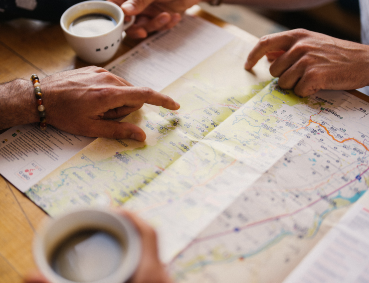
The KML (Keyhole Markup Language) and GPX (GPS eXchange Format) files are commonly used file formats for storing geographical data, including cycling routes. In this article, we will guide you through the steps to read and interpret these files, allowing you to fully enjoy the cycling routes offered on Alsace à vélo. Whether you are a passionate cyclist or a novice, we will show you how to access detailed information about cycling paths, points of interest, and much more
 Vectorjuice
What are KML and GPX files?
Before starting to read these files, it is essential to understand what they represent:
- KML files: The KML format was developed by Keyhole Inc. (later acquired by Google) and is commonly used to display geospatial data in Google Earth. It contains geographical coordinates, markup information, and styles to represent points, lines, and polygons on a map.
- GPX files: The GPX format is an open standard based on the XML (eXtensible Markup Language). It is commonly used to store GPS data, including routes, waypoints (points of interest), and track logs.
 © B. Salmanski - ADT - ARTGE
Tools to open KML and GPX files.
To read and visualize KML files, you can use Google Earth, a free software by Google available for both computers and mobile devices. For opening GPX files, there are several options:
- GPS Applications: Many navigation and GPS tracking apps on mobile devices (such as Garmin, Strava, Komoot, Maps.me, etc.) support GPX files.
- Mapping Software: Popular mapping software like QGIS (free and open-source) and ArcGIS (paid) also support opening GPX files
In this section, we will guide you through using Maps.me for KML files and a GPS application for GPX files.
How to read KML files with Maps.me:
Step 1: Download Maps.me
Download the Maps.me application for free on your smartphone (available via the App Store). It is recommended to download the map backgrounds for the 67 and 68 departments before getting started.
Step 2: Choose a route on Alsace à vélo
Visit the website www.alsaceavelo.fr and select the route or circuit you want to take.
Step 3: Download the KML for the chosen route
Once on the page of the chosen route or circuit, click on the "KML" button below the route description. The file will be downloaded.
Step 4: Open the KML with Maps.me
Once the KML track is downloaded, click on "Open in..." and select Maps.me.
Step 5: Let's go
Simply find the route you just downloaded on the application and follow the colored path. Let's go!
You now have access to the Maps.me application and the map of the location where you are.

How to read GPX files with a GPS application
Step 1: Choose a GPS application:
Download and install a GPS application that supports GPX files on your mobile device. Make sure to choose a reputable and well-rated application.
Step 2: Import the GPX file:
In the GPS application, look for the "Import" or "Open" option in the menu. Choose the GPX file you downloaded and want to view. The cycling route and its associated details will now be accessible in the application

By following this guide, you will now be able to easily read KML and GPX files to explore and enjoy the routes offered by Alsace à vélo. You can discover new paths, learn more about points of interest along the route, and enhance your cycling experience with these convenient file formats. So, plan your route, download the files, and set out to explore Alsace à vélo!