Légende
Bicycle paths
On-road cycle lanes
Shared circulation
Road
Cycle trails / Local circular cycle trails -50 km
BL435 - The Gateway to Alsace
Distance
38,7 km
Difficulty
Occasional practice
Elevation
250 m
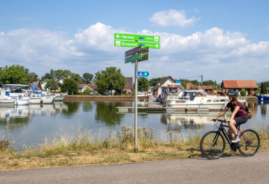
Wend your way along the winding roads of Alsace interweaving through the network of villages that make up this trail along the watershed. At the heart of Sundgau, you will take the former towpaths of the Rhône-to-Rhine Canal with locks dotted along the way (away from the road and rail routes linking Bourgogne and Alsace).
Gallery