Légende
Bicycle paths
On-road cycle lanes
Shared circulation
Road
Cycle trails / Cross-border routes, Cycle trails / Regional circular cycle trails +50 km
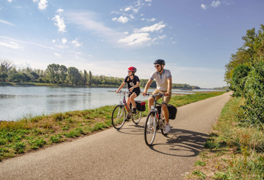
BR93 From the banks of the Rhine into the valley of the Lauter
Distance
84 km
Difficulty
Occasional practice
Elevation
190 m
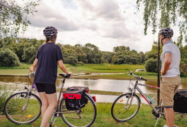
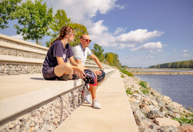
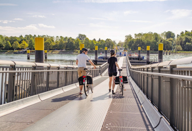
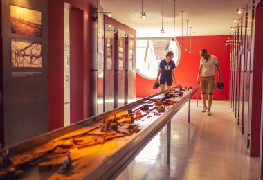
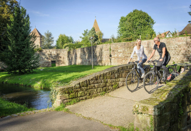
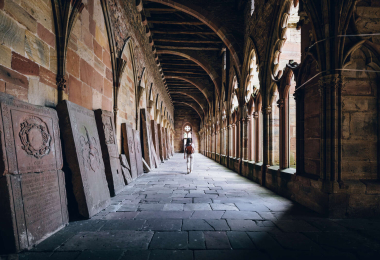
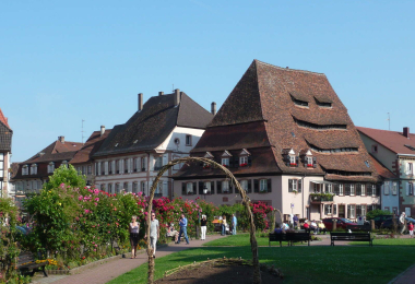
The canalised Rhine river ends in Beinheim where it returns to its natural course. We can ride along the river on the high- waters embankment while going through the Rhineland forests and natural reserves up to Lauterbourg. The animal and plant lives are really diversified: grey herons, wild geese, sparrowhawks, peduncle oaks, and English elms. On the circuit leading from Lauterbourg to W issembourg, the petrol pumps repre- sent the remnants of a petrol industry that was prosperous in the region up to the middle of the twentieth century. From Wissembourg to Beinheim, the cyclist will discover some of the most beautiful typical villages of Alsace.
Gallery